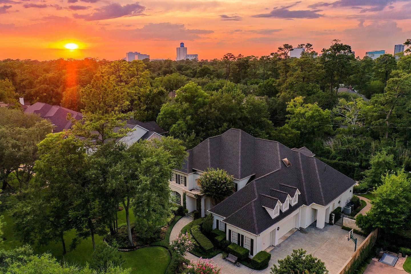
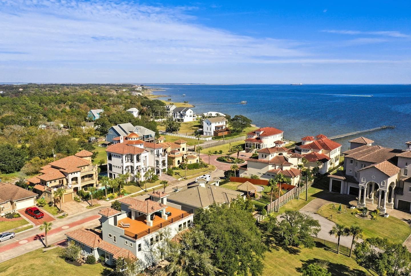
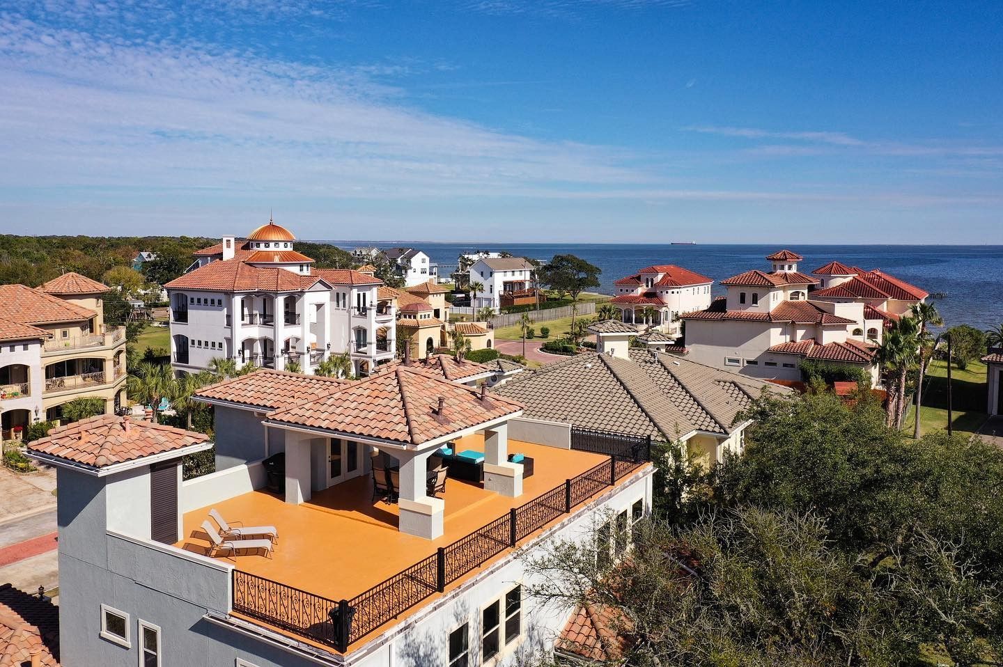
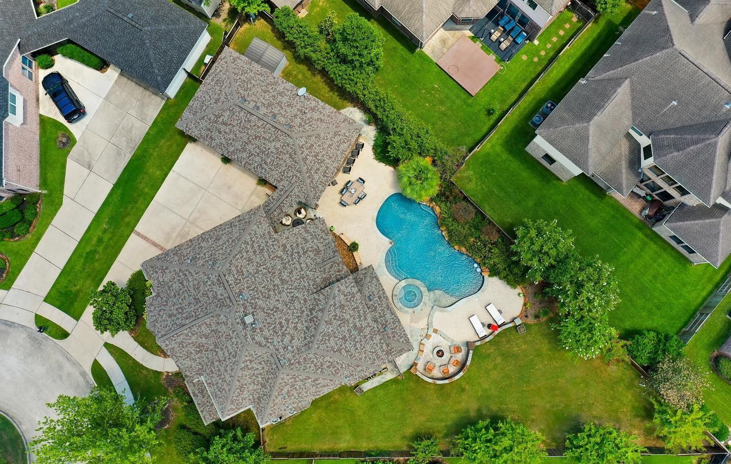
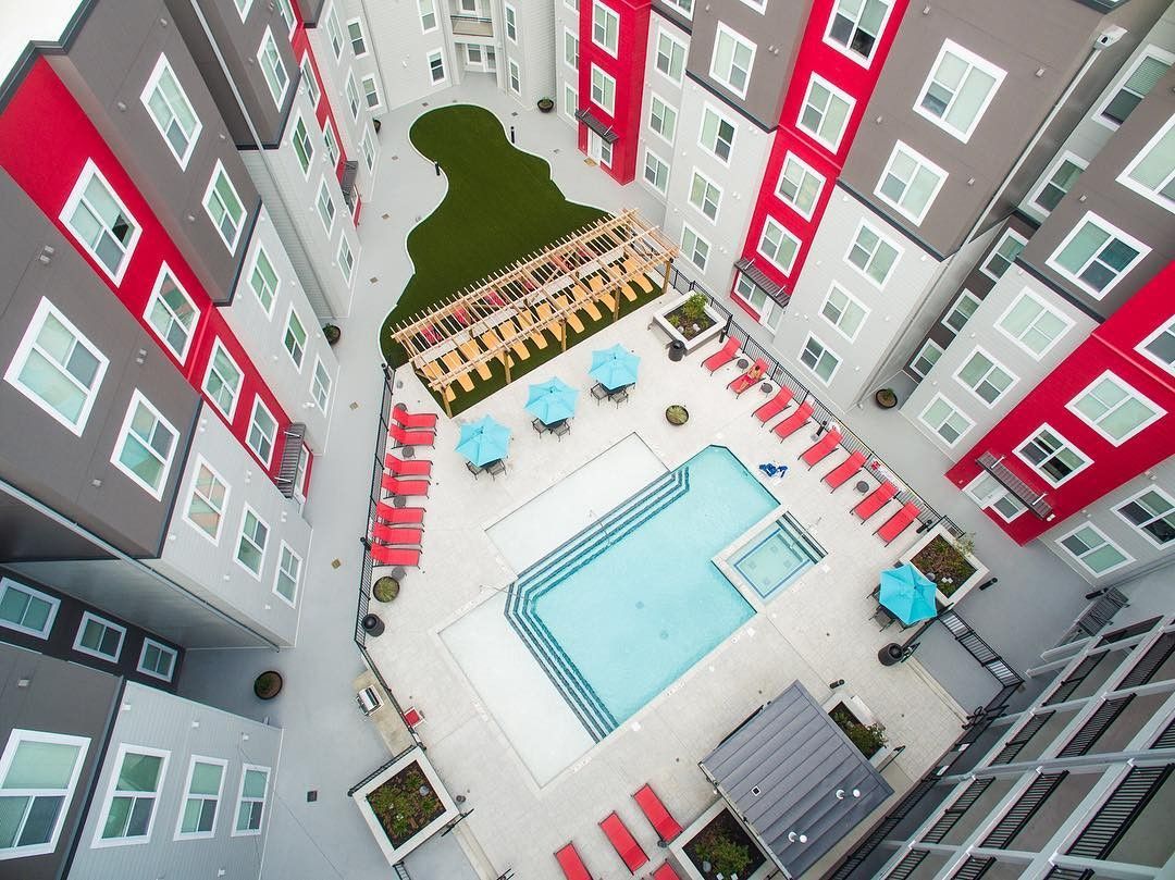
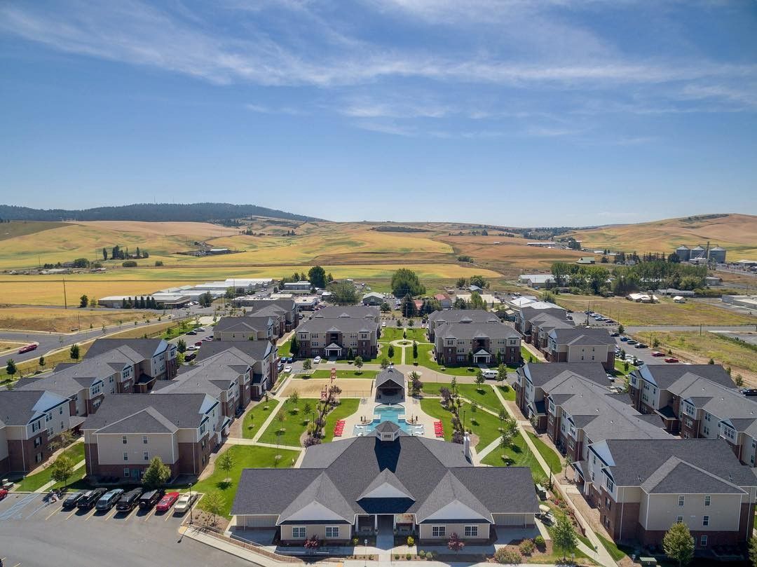
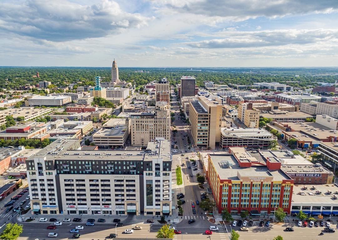
Drone photography for real estate, land and construction around Houston
I've held an FAA Remote Pilot certificate since 2021. From above, a property shows what the ground can't: its trees, its water, how far it sits from everything. I fly listing aerials, construction progress, land and acreage, and I check the airspace for every address before I confirm a flight.
What's included
- Real estate aerials
- Construction progress on a schedule
- Land and acreage
- Airspace check before every flight
Questions
Can you fly anywhere?
Not everywhere. Some addresses sit in controlled airspace. That's why the quote form asks for the property address: I check it first.
Can you shoot construction progress?
Yes, on a repeating schedule you choose.
What if the weather turns?
I reschedule for free, to the next clear day that works for you.
Serving Magnolia, The Woodlands, Tomball, Conroe, Montgomery, Spring, Cypress and Houston Inside the Loop.